
Thank you for supporting this site ❤️
Make a donation
Make a donation
Rödenhof topographic map
Click on the map to display elevation.
Thank you for supporting this site ❤️
Make a donation
Make a donation
About this map
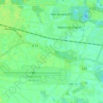
Name: Rödenhof topographic map, elevation, terrain.
Average elevation: 380 m
Minimum elevation: 374 m
Maximum elevation: 386 m
Thank you for supporting this site ❤️
Make a donation
Make a donation
Other topographic maps
Click on a map to view its topography, its elevation and its terrain.
Donau
Deutschland > Bayern > Landkreis Neuburg-Schrobenhausen > Neuburg an der Donau
Average elevation: 392 m
86633
Deutschland > Bayern > Landkreis Neuburg-Schrobenhausen > Neuburg an der Donau
Average elevation: 411 m