
Le Landeron topographic map
Interactive map
Click on the map to display elevation.
About this map
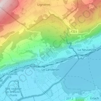
Name: Le Landeron topographic map, elevation, terrain.
Location: Le Landeron, District de Neuchâtel, Neuchâtel, 2525, Zwitserland (47.04329 7.02520 47.08359 7.08765)
Average elevation: 593 m
Minimum elevation: 425 m
Maximum elevation: 1,045 m