
Thank you for supporting this site ❤️
Make a donation
Make a donation
Highland topographic map
Click on the map to display elevation.
Thank you for supporting this site ❤️
Make a donation
Make a donation
About this map
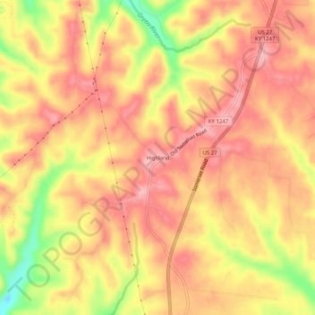
Name: Highland topographic map, elevation, terrain.
Location: Highland, Lincoln County, Kentucky, United States (37.40813 -84.67383 37.44813 -84.63383)
Average elevation: 395 m
Minimum elevation: 309 m
Maximum elevation: 436 m
Thank you for supporting this site ❤️
Make a donation
Make a donation
Other topographic maps
Click on a map to view its topography, its elevation and its terrain.