
Thank you for supporting this site ❤️
Make a donation
Make a donation
Guajaraz topographic map
Click on the map to display elevation.
Thank you for supporting this site ❤️
Make a donation
Make a donation
About this map
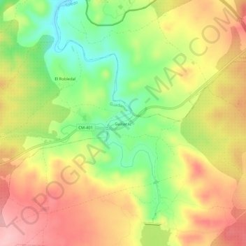
Name: Guajaraz topographic map, elevation, terrain.
Location: Guajaraz, Argés, Toledo, Castilla-La Mancha, 45122, España (39.79624 -4.11390 39.83624 -4.07390)
Average elevation: 605 m
Minimum elevation: 523 m
Maximum elevation: 679 m
Thank you for supporting this site ❤️
Make a donation
Make a donation