
Thank you for supporting this site ❤️
Make a donation
Make a donation
Sangana topographic map
Click on the map to display elevation.
Thank you for supporting this site ❤️
Make a donation
Make a donation
About this map
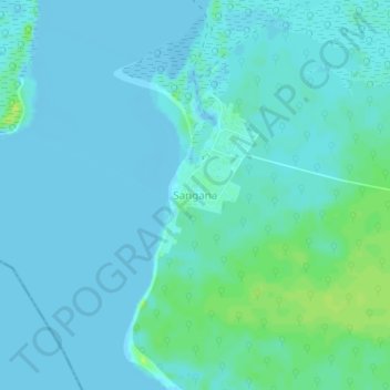
Name: Sangana topographic map, elevation, terrain.
Location: Sangana, Brass, Bayelsa State, Nigeria (4.31042 5.96370 4.35042 6.00370)
Average elevation: 3 m
Minimum elevation: -5 m
Maximum elevation: 14 m
Thank you for supporting this site ❤️
Make a donation
Make a donation