
寒亭区 topographic map
Interactive map
Click on the map to display elevation.
About this map
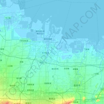
Name: 寒亭区 topographic map, elevation, terrain.
Location: 寒亭区, Weifang, Shandong, Chine (36.72067 118.89318 37.31994 119.43152)
Average elevation: 6 m
Minimum elevation: -4 m
Maximum elevation: 89 m