
Pejanda topographic map
Interactive map
Click on the map to display elevation.
About this map
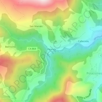
Name: Pejanda topographic map, elevation, terrain.
Location: Pejanda, Saja-Nansa, Cantabria, 39557, España (43.10571 -4.43094 43.10747 -4.42839)
Average elevation: 997 m
Minimum elevation: 794 m
Maximum elevation: 1,305 m