
Thank you for supporting this site ❤️
Make a donation
Make a donation
Hill topographic map
Click on the map to display elevation.
Thank you for supporting this site ❤️
Make a donation
Make a donation
About this map
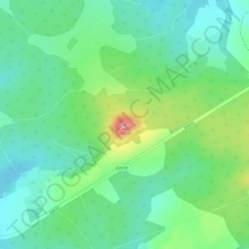
Name: Hill topographic map, elevation, terrain.
Location: Hill, Isukha East ward, Shinyalu, Kakamega County, 30300, Kenya (0.24681 34.90852 0.24691 34.90862)
Average elevation: 1,616 m
Minimum elevation: 1,574 m
Maximum elevation: 1,700 m
Thank you for supporting this site ❤️
Make a donation
Make a donation