
İslahiye topographic map
Interactive map
Click on the map to display elevation.
About this map
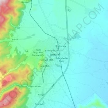
Name: İslahiye topographic map, elevation, terrain.
Location: İslahiye, Gaziantep, Südostanatolien, 27800, Türkei (36.98543 36.59271 37.06543 36.67271)
Average elevation: 569 m
Minimum elevation: 452 m
Maximum elevation: 1,087 m