
Angahuan topographic map
Interactive map
Click on the map to display elevation.
About this map
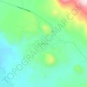
Name: Angahuan topographic map, elevation, terrain.
Location: Angahuan, Uruapan, Michoacán, Mexico (19.52766 -102.24509 19.56766 -102.20509)
Average elevation: 2,403 m
Minimum elevation: 2,246 m
Maximum elevation: 2,821 m