
Old Karnak topographic map
Interactive map
Click on the map to display elevation.
About this map
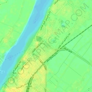
Name: Old Karnak topographic map, elevation, terrain.
Location: Old Karnak, Luxor Governate, 81693, Egypt (25.69341 32.64418 25.72611 32.66951)
Average elevation: 78 m
Minimum elevation: 67 m
Maximum elevation: 89 m
Other topographic maps
Click on a map to view its topography, its elevation and its terrain.
Karnak Temple Complex
Egypt > Luxor Governate > Old Karnak
Karnak Temple Complex, Street 7, Old Karnak, Luxor Governate, 81693, Egypt
Average elevation: 77 m