
Lutjebroek topographic map
Interactive map
Click on the map to display elevation.
About this map
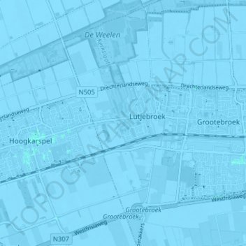
Name: Lutjebroek topographic map, elevation, terrain.
Location: Lutjebroek, Stede Broec, Nordholland, Niederlande (52.67761 5.18537 52.71678 5.21504)
Average elevation: -2 m
Minimum elevation: -6 m
Maximum elevation: 1 m