
Orléans topographic map
Interactive map
Click on the map to display elevation.
About this map
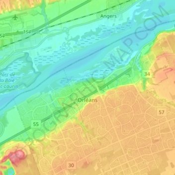
Name: Orléans topographic map, elevation, terrain.
Location: Orléans, Cumberland, Ottawa, Ontario, Kanada (45.46112 -75.56162 45.51288 -75.43964)
Average elevation: 66 m
Minimum elevation: 38 m
Maximum elevation: 113 m
Other topographic maps
Click on a map to view its topography, its elevation and its terrain.
Cumberland
Kanada > Ontario > Ottawa > Cumberland
Cumberland, Ottawa, Eastern Ontario, Ontario, Kanada
Average elevation: 75 m