
Bayard topographic map
Interactive map
Click on the map to display elevation.
About this map
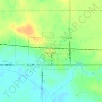
Name: Bayard topographic map, elevation, terrain.
Location: Bayard, Guthrie County, Iowa, États-Unis d'Amérique (41.84750 -94.56626 41.85744 -94.55067)
Average elevation: 343 m
Minimum elevation: 328 m
Maximum elevation: 362 m