
Thank you for supporting this site ❤️
Make a donation
Make a donation
Ehrenberg topographic map
Click on the map to display elevation.
Thank you for supporting this site ❤️
Make a donation
Make a donation
About this map
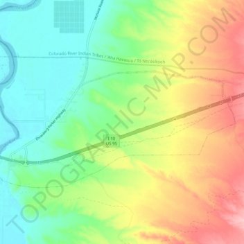
Name: Ehrenberg topographic map, elevation, terrain.
Location: Ehrenberg, La Paz County, Arizona, 85334, United States (33.59383 -114.53294 33.63886 -114.43234)
Average elevation: 135 m
Minimum elevation: 76 m
Maximum elevation: 223 m
Thank you for supporting this site ❤️
Make a donation
Make a donation
Other topographic maps
Click on a map to view its topography, its elevation and its terrain.