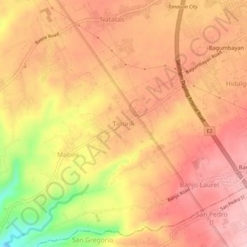
Click on the map to display elevation.
Name: Tinurik topographic map, elevation, terrain.
Location: Tinurik, Mabini, Tanauan, Batangas, Calabarzon, 4232, Philippines (14.04393 121.10197 14.08393 121.14197)
Average elevation: 143 m
Minimum elevation: 20 m
Maximum elevation: 202 m
Click on a map to view its topography, its elevation and its terrain.
Philippines > Batangas > Tanauan > Hidalgo
Average elevation: 173 m
Philippines > Batangas > Tanauan
Average elevation: 153 m
Philippines > Batangas > Tanauan > Talaga
Average elevation: 135 m
Average elevation: 64 m
Average elevation: 158 m
Average elevation: 154 m
Average elevation: 247 m
Philippines > Batangas > Tanauan > Maugat
Average elevation: 28 m
Average elevation: 142 m
Average elevation: 145 m
Philippines > Batangas > Tanauan > Bañadero
Average elevation: 58 m