
Thank you for supporting this site ❤️
Make a donation
Make a donation
Artiga de Lin topographic map
Click on the map to display elevation.
Thank you for supporting this site ❤️
Make a donation
Make a donation
About this map
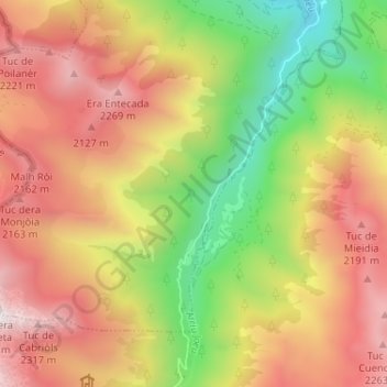
Name: Artiga de Lin topographic map, elevation, terrain.
Location: Artiga de Lin, Es Bòrdes, Valle de Arán, Cataluña, España (42.68188 0.70259 42.72754 0.72944)
Average elevation: 1,676 m
Minimum elevation: 914 m
Maximum elevation: 2,353 m
Thank you for supporting this site ❤️
Make a donation
Make a donation