
Thank you for supporting this site ❤️
Make a donation
Make a donation
La Union topographic map
Click on the map to display elevation.
Thank you for supporting this site ❤️
Make a donation
Make a donation
About this map
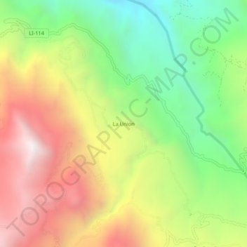
Name: La Union topographic map, elevation, terrain.
Location: La Union, Usquil, Otuzco, La Libertad, Perú (-7.87718 -78.35642 -7.83718 -78.31642)
Average elevation: 2,864 m
Minimum elevation: 2,163 m
Maximum elevation: 3,675 m
Thank you for supporting this site ❤️
Make a donation
Make a donation