
Manatí topographic map
Interactive map
Click on the map to display elevation.
About this map
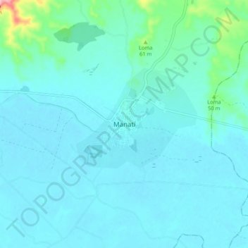
Name: Manatí topographic map, elevation, terrain.
Location: Manatí, Atlántico, 085020, Colombia (10.40703 -74.99942 10.48703 -74.91942)
Average elevation: 17 m
Minimum elevation: 0 m
Maximum elevation: 158 m