
ทุ่งหลวง topographic map
Interactive map
Click on the map to display elevation.
About this map
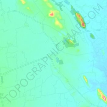
Name: ทุ่งหลวง topographic map, elevation, terrain.
Location: ทุ่งหลวง, จังหวัดราชบุรี, Thailand (13.39199 99.68162 13.47199 99.76162)
Average elevation: 41 m
Minimum elevation: 13 m
Maximum elevation: 220 m