
Thank you for supporting this site ❤️
Make a donation
Make a donation
San Romolo topographic map
Click on the map to display elevation.
Thank you for supporting this site ❤️
Make a donation
Make a donation
About this map
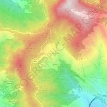
Name: San Romolo topographic map, elevation, terrain.
Location: San Romolo, Sanremo, Provincia di Imperia, Liguria, 18034, Italy (43.83587 7.70636 43.87587 7.74636)
Average elevation: 742 m
Minimum elevation: 189 m
Maximum elevation: 1,281 m
Thank you for supporting this site ❤️
Make a donation
Make a donation