
Hausen (AG) topographic map
Interactive map
Click on the map to display elevation.
About this map
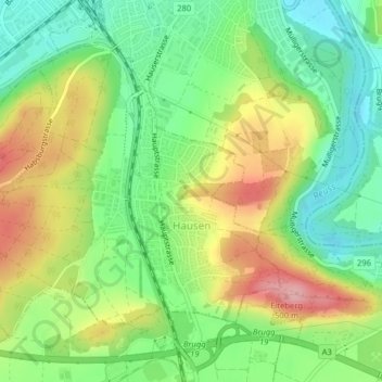
Name: Hausen (AG) topographic map, elevation, terrain.
Location: Hausen (AG), Bezirk Brugg, Argovie, 5212, Suisse (47.45247 8.19199 47.47314 8.22427)
Average elevation: 394 m
Minimum elevation: 333 m
Maximum elevation: 480 m