
Thank you for supporting this site ❤️
Make a donation
Make a donation
Wölsendorf topographic map
Click on the map to display elevation.
Thank you for supporting this site ❤️
Make a donation
Make a donation
Wölsendorf
Wölsendorf liegt in der Region Oberpfalz-Nord an der Naab zwischen Nabburg und Schwarzenfeld am Fuße des Wolfsberges (530 m). Die Höhen des Naabdurchbruchs, begrenzt durch den Mühlberg (428 m) bei Stulln und Brensdorf und den Lehenbühl (457 m) bei Wölsendorf, haben hier einen Abstand von etwa 200 Meter. Am westlichen Ortsrand verläuft die A 93.
Thank you for supporting this site ❤️
Make a donation
Make a donation
About this map
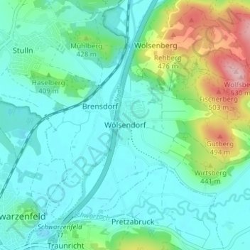
Name: Wölsendorf topographic map, elevation, terrain.
Average elevation: 393 m
Minimum elevation: 353 m
Maximum elevation: 528 m
Thank you for supporting this site ❤️
Make a donation
Make a donation