
Körnick topographic map
Interactive map
Click on the map to display elevation.
About this map
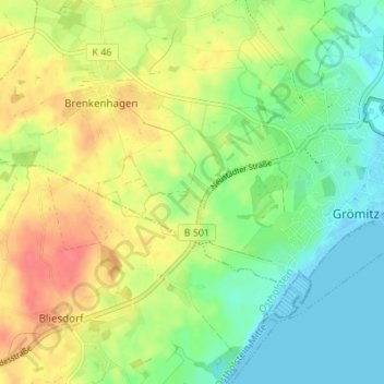
Name: Körnick topographic map, elevation, terrain.
Location: Körnick, Ostholstein, Schleswig-Holstein, 23743, Deutschland (54.12632 10.90982 54.16632 10.94982)
Average elevation: 25 m
Minimum elevation: -3 m
Maximum elevation: 57 m