
El Carmen topographic map
Interactive map
Click on the map to display elevation.
About this map
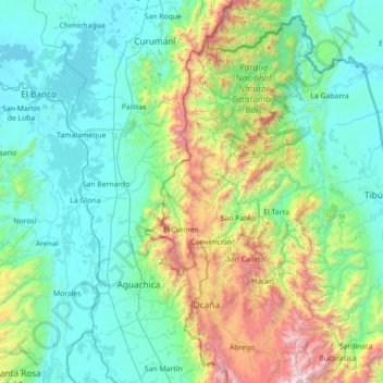
Name: El Carmen topographic map, elevation, terrain.
Location: El Carmen, Norte de Santander, Kolumbien (8.00731 -74.04820 9.28731 -72.76820)
Average elevation: 542 m
Minimum elevation: 19 m
Maximum elevation: 2,821 m