
Witów topographic map
Interactive map
Click on the map to display elevation.
About this map
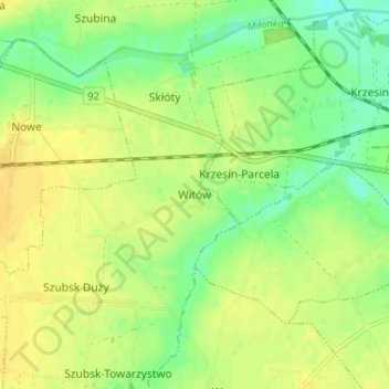
Name: Witów topographic map, elevation, terrain.
Average elevation: 118 m
Minimum elevation: 104 m
Maximum elevation: 129 m
Other topographic maps
Click on a map to view its topography, its elevation and its terrain.
Kutno
Polen > Woiwodschaft Lodz > Landkreis Kutno
Kutno, Landkreis Kutno, Woiwodschaft Lodz, Polen
Average elevation: 115 m