
Dharli topographic map
Click on the map to display elevation.
About this map
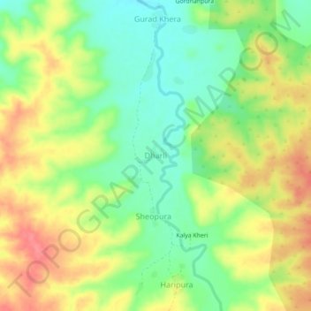
Name: Dharli topographic map, elevation, terrain.
Location: Dharli, Bakani Tehsil, Jhalawar, Rajasthan, India (24.31114 76.32925 24.35114 76.36925)
Average elevation: 383 m
Minimum elevation: 349 m
Maximum elevation: 421 m