
Changge topographic map
Interactive map
Click on the map to display elevation.
About this map
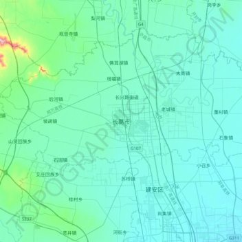
Name: Changge topographic map, elevation, terrain.
Location: Changge, 长葛市 (Changge), 许昌市 / Xuchang, Henan, RPC (34.05570 113.60767 34.37570 113.92767)
Average elevation: 103 m
Minimum elevation: 64 m
Maximum elevation: 460 m