
Thank you for supporting this site ❤️
Make a donation
Make a donation
Joppa topographic map
Click on the map to display elevation.
Thank you for supporting this site ❤️
Make a donation
Make a donation
About this map
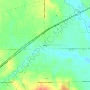
Name: Joppa topographic map, elevation, terrain.
Location: Joppa, Hendricks County, Indiana, United States (39.61227 -86.45222 39.65227 -86.41222)
Average elevation: 225 m
Minimum elevation: 207 m
Maximum elevation: 257 m
Thank you for supporting this site ❤️
Make a donation
Make a donation
Other topographic maps
Click on a map to view its topography, its elevation and its terrain.
Thank you for supporting this site ❤️
Make a donation
Make a donation
Thank you for supporting this site ❤️
Make a donation
Make a donation