
Nganjuk topographic map
Interactive map
Click on the map to display elevation.
About this map
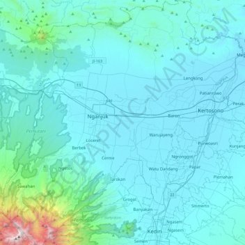
Name: Nganjuk topographic map, elevation, terrain.
Location: Nganjuk, Jawa Timur, Indonésie (-7.83657 111.72543 -7.39372 112.16911)
Average elevation: 220 m
Minimum elevation: 34 m
Maximum elevation: 2,521 m
Other topographic maps
Click on a map to view its topography, its elevation and its terrain.
Pasuruan
Indonésie > Jawa Timur > Pasuruan
Pasuruan, Jawa Timur, 67114, Indonésie
Average elevation: 44 m