
Oha topographic map
Interactive map
Click on the map to display elevation.
About this map
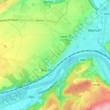
Name: Oha topographic map, elevation, terrain.
Location: Oha, Bas-Oha, Wanze, Huy, Liège, Wallonie, 4520, Belgique (50.50782 5.17206 50.54782 5.21206)
Average elevation: 117 m
Minimum elevation: 64 m
Maximum elevation: 219 m