
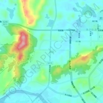
高码 topographic map
Interactive map
Click on the map to display elevation.
About this map
Name: 高码 topographic map, elevation, terrain.
Location: 高码, 资兴市, 郴州市, 湖南省, 423403, 中国 (25.94706 113.18801 25.98706 113.22801)
Average elevation: 162 m
Minimum elevation: 123 m
Maximum elevation: 294 m
Other topographic maps
Click on a map to view its topography, its elevation and its terrain.