
Thank you for supporting this site ❤️
Make a donation
Make a donation
Cuatro Esquinas topographic map
Click on the map to display elevation.
Thank you for supporting this site ❤️
Make a donation
Make a donation
About this map
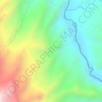
Name: Cuatro Esquinas topographic map, elevation, terrain.
Location: Cuatro Esquinas, Miraflores, Lengupá, Boyacá, Colombia (5.16649 -73.11863 5.18649 -73.09863)
Average elevation: 1,190 m
Minimum elevation: 959 m
Maximum elevation: 1,562 m
Thank you for supporting this site ❤️
Make a donation
Make a donation
Other topographic maps
Click on a map to view its topography, its elevation and its terrain.