
Bhanga Upazila topographic map
Interactive map
Click on the map to display elevation.
About this map
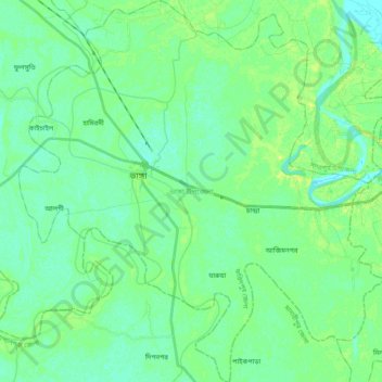
Name: Bhanga Upazila topographic map, elevation, terrain.
Average elevation: 6 m
Minimum elevation: 0 m
Maximum elevation: 15 m
Other topographic maps
Click on a map to view its topography, its elevation and its terrain.
Dhaka
Dhaka, Dhaka Metropolitan, Dhaka District, Dhaka Division, 1215, Bangladesh
Average elevation: 7 m