
Los topographic map
Interactive map
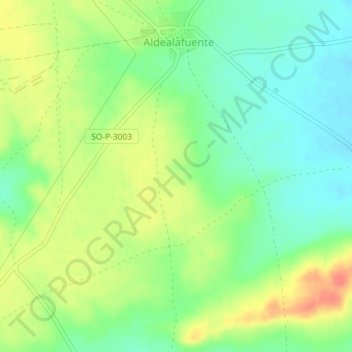
Click on the map to display elevation.
About this map
Name: Los topographic map, elevation, terrain.
Location: Los, Aldealafuente, Sória, Castela e Leão, Espanha (41.65111 -2.33519 41.67111 -2.31519)
Average elevation: 1,012 m
Minimum elevation: 990 m
Maximum elevation: 1,039 m