
Ungerdorf topographic map
Interactive map
Click on the map to display elevation.
About this map
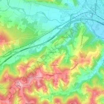
Name: Ungerdorf topographic map, elevation, terrain.
Average elevation: 405 m
Minimum elevation: 343 m
Maximum elevation: 493 m
Other topographic maps
Click on a map to view its topography, its elevation and its terrain.
Gleisdorf
Österreich > Steiermark > Bezirk Weiz > Gleisdorf
Gleisdorf, Bezirk Weiz, Steiermark, 8200, Österreich
Average elevation: 371 m