
Thank you for supporting this site ❤️
Make a donation
Make a donation
Mornaula topographic map
Click on the map to display elevation.
Thank you for supporting this site ❤️
Make a donation
Make a donation
About this map
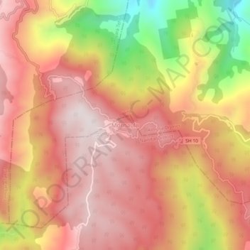
Name: Mornaula topographic map, elevation, terrain.
Location: Mornaula, Dhari, Nainital District, Uttarakhand, India (29.43160 79.75310 29.47160 79.79310)
Average elevation: 1,974 m
Minimum elevation: 1,499 m
Maximum elevation: 2,233 m
Thank you for supporting this site ❤️
Make a donation
Make a donation