
Sikensi topographic map
Interactive map
Click on the map to display elevation.
About this map
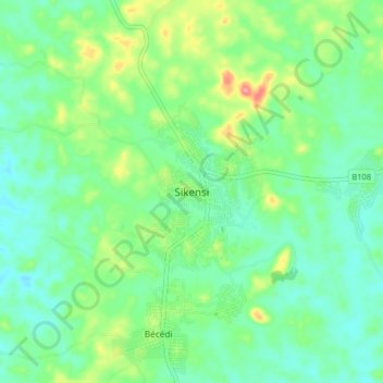
Name: Sikensi topographic map, elevation, terrain.
Location: Sikensi, Agnéby-Tiassa, Lagunes, Côte d’Ivoire (5.63137 -4.61516 5.71137 -4.53516)
Average elevation: 89 m
Minimum elevation: 61 m
Maximum elevation: 158 m