
Thank you for supporting this site ❤️
Make a donation
Make a donation
Netstal topographic map
Click on the map to display elevation.
Thank you for supporting this site ❤️
Make a donation
Make a donation
About this map
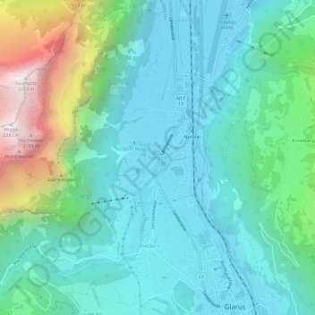
Name: Netstal topographic map, elevation, terrain.
Location: Netstal, Glarus, 8754, Schweiz (47.04113 9.03297 47.08113 9.07297)
Average elevation: 850 m
Minimum elevation: 443 m
Maximum elevation: 2,269 m
Thank you for supporting this site ❤️
Make a donation
Make a donation