
Thank you for supporting this site ❤️
Make a donation
Make a donation
Munikhera topographic map
Click on the map to display elevation.
Thank you for supporting this site ❤️
Make a donation
Make a donation
About this map
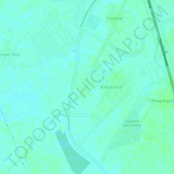
Name: Munikhera topographic map, elevation, terrain.
Location: Munikhera, Gautam Buddha Nagar, Uttar Pradesh, 203209, India (28.29036 77.51266 28.33036 77.55266)
Average elevation: 193 m
Minimum elevation: 190 m
Maximum elevation: 197 m
Thank you for supporting this site ❤️
Make a donation
Make a donation
Other topographic maps
Click on a map to view its topography, its elevation and its terrain.