
Huntsville topographic map
Interactive map
Click on the map to display elevation.
About this map
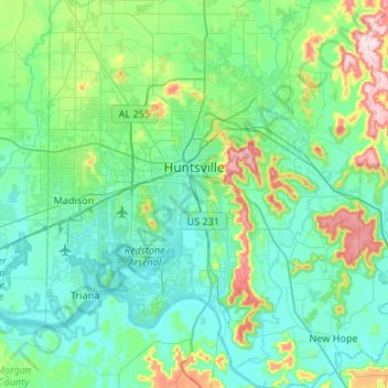
Name: Huntsville topographic map, elevation, terrain.
Location: Huntsville, Madison County, Alabama, États-Unis d'Amérique (34.53343 -86.95678 34.86516 -86.39934)
Average elevation: 232 m
Minimum elevation: 166 m
Maximum elevation: 546 m