
Ross River topographic map
Interactive map
Click on the map to display elevation.
About this map
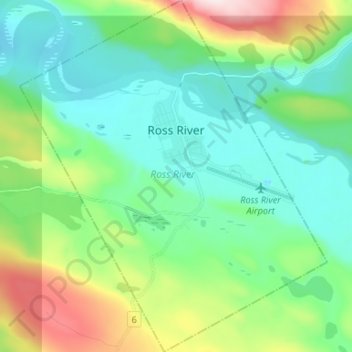
Name: Ross River topographic map, elevation, terrain.
Location: Ross River, Yukon, Y0B 1S0, Canada (61.94061 -132.50833 62.00281 -132.39258)
Average elevation: 801 m
Minimum elevation: 676 m
Maximum elevation: 1,158 m
Other topographic maps
Click on a map to view its topography, its elevation and its terrain.