
Thank you for supporting this site ❤️
Make a donation
Make a donation
Alvarado topographic map
Click on the map to display elevation.
Thank you for supporting this site ❤️
Make a donation
Make a donation
About this map
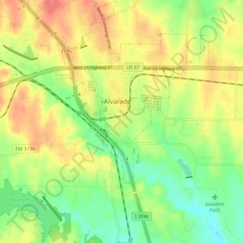
Name: Alvarado topographic map, elevation, terrain.
Location: Alvarado, Johnson County, Texas, 76007, United States (32.36595 -97.26300 32.43531 -97.18041)
Average elevation: 224 m
Minimum elevation: 194 m
Maximum elevation: 255 m
Thank you for supporting this site ❤️
Make a donation
Make a donation