
Thank you for supporting this site ❤️
Make a donation
Make a donation
Tejon topographic map
Click on the map to display elevation.
Thank you for supporting this site ❤️
Make a donation
Make a donation
About this map
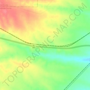
Name: Tejon topographic map, elevation, terrain.
Location: Tejon, Guadalupe County, New Mexico, United States (34.56979 -105.30611 34.60979 -105.26611)
Average elevation: 1,861 m
Minimum elevation: 1,824 m
Maximum elevation: 1,895 m
Thank you for supporting this site ❤️
Make a donation
Make a donation
Other topographic maps
Click on a map to view its topography, its elevation and its terrain.