
La Isabelita topographic map
Interactive map
Click on the map to display elevation.
About this map
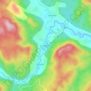
Name: La Isabelita topographic map, elevation, terrain.
Location: La Isabelita, El Salvador, Guantánamo, Cuba (20.37882 -75.35100 20.41882 -75.31100)
Average elevation: 332 m
Minimum elevation: 201 m
Maximum elevation: 531 m