
Thank you for supporting this site ❤️
Make a donation
Make a donation
Golana topographic map
Click on the map to display elevation.
Thank you for supporting this site ❤️
Make a donation
Make a donation
About this map
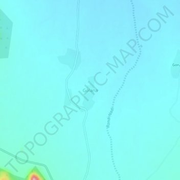
Name: Golana topographic map, elevation, terrain.
Location: Golana, Jaswantpura Tehsil, Jalore, Rajasthan, India (24.81679 72.43968 24.85679 72.47968)
Average elevation: 262 m
Minimum elevation: 246 m
Maximum elevation: 441 m
Thank you for supporting this site ❤️
Make a donation
Make a donation