
Thank you for supporting this site ❤️
Make a donation
Make a donation
Japacurio topographic map
Click on the map to display elevation.
Thank you for supporting this site ❤️
Make a donation
Make a donation
About this map
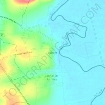
Name: Japacurio topographic map, elevation, terrain.
Location: Japacurio, Cañada de Ramírez, Numarán, Michoacán, México (20.28570 -101.98283 20.32570 -101.94283)
Average elevation: 1,696 m
Minimum elevation: 1,672 m
Maximum elevation: 1,774 m
Thank you for supporting this site ❤️
Make a donation
Make a donation