
Safe topographic map
Interactive map
Click on the map to display elevation.
About this map
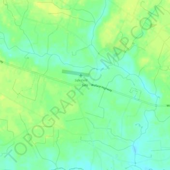
Name: Safe topographic map, elevation, terrain.
Location: Safe, Duplin County, Caroline du Nord, États-Unis d'Amérique (34.72739 -78.07943 34.76739 -78.03943)
Average elevation: 18 m
Minimum elevation: 8 m
Maximum elevation: 27 m