
Thank you for supporting this site ❤️
Make a donation
Make a donation
Barjasar topographic map
Click on the map to display elevation.
Thank you for supporting this site ❤️
Make a donation
Make a donation
About this map
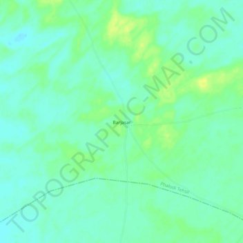
Name: Barjasar topographic map, elevation, terrain.
Location: Barjasar, Phalodi Tehsil, Phalodi, Rajasthan, India (27.16330 72.70120 27.20330 72.74120)
Average elevation: 262 m
Minimum elevation: 255 m
Maximum elevation: 273 m
Thank you for supporting this site ❤️
Make a donation
Make a donation