
Thank you for supporting this site ❤️
Make a donation
Make a donation
Huangsan Village topographic map
Click on the map to display elevation.
Thank you for supporting this site ❤️
Make a donation
Make a donation
About this map
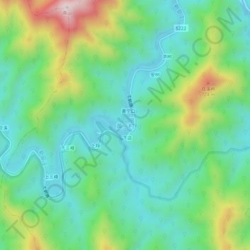
Name: Huangsan Village topographic map, elevation, terrain.
Location: Huangsan Village, Huangshan, Anhui, China (29.66044 117.73842 29.70044 117.77842)
Average elevation: 427 m
Minimum elevation: 252 m
Maximum elevation: 841 m
Thank you for supporting this site ❤️
Make a donation
Make a donation
Other topographic maps
Click on a map to view its topography, its elevation and its terrain.